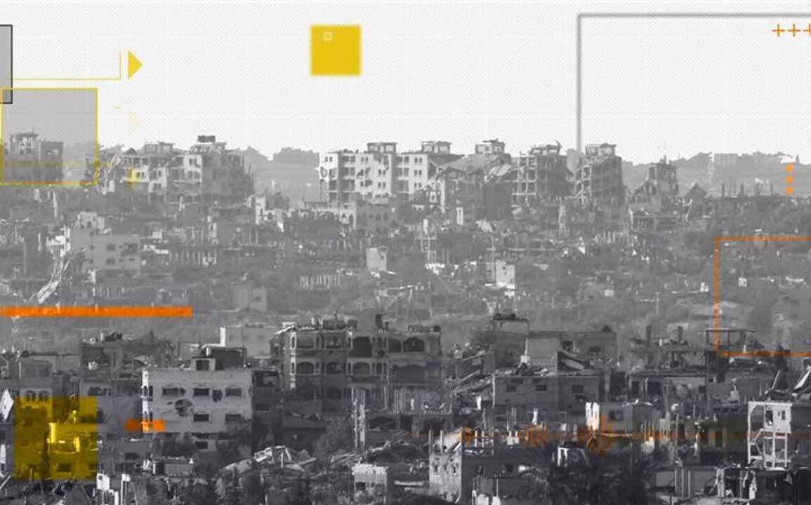
What Satellite Images Tell Us About North Gaza
Satellite imagery shows destruction and razing of shelters, including schools and informal camps, in northern Gaza. Israeli military vehicles are seen in courtyards, and agricultural fields have been razed along evacuation routes. The images confirm widespread damage and displacement, aligning with Human Rights Watch’s accusations of ‘ethnic cleansing’ by Israel[2][4].


