A La Niña Winter is Coming. Here’s What That Could Mean for the US
As autumn progresses, it’s already time to anticipate winter, which may present a stark contrast to last year’s season. Currently, a mild La Niña phenomenon is at play, characterized by lower-than-average sea temperatures in the equatorial Pacific. Its effects on weather are most significant during the winter months in the Northern Hemisphere, while its influence diminishes during summer.
Last winter experienced prolonged warmth that hindered many significant snowfall events. Although La Niña hasn’t fully developed yet, the Climate Prediction Center indicates a 60% probability of its emergence by November. Once established, it is expected to remain throughout the winter and possibly extend into early spring next year.
While La Niña and El Niño are never the sole determinants of seasonal weather patterns, they are highlighted due to their substantial impact on winter conditions in the United States, particularly when they are robust. Current predictions lean toward a weaker La Niña this year.
The intensity of La Niña is crucial; a stronger event tends to create a more predictable weather impact. A weaker occurrence increases the likelihood of other meteorological phenomena interfering with established patterns.
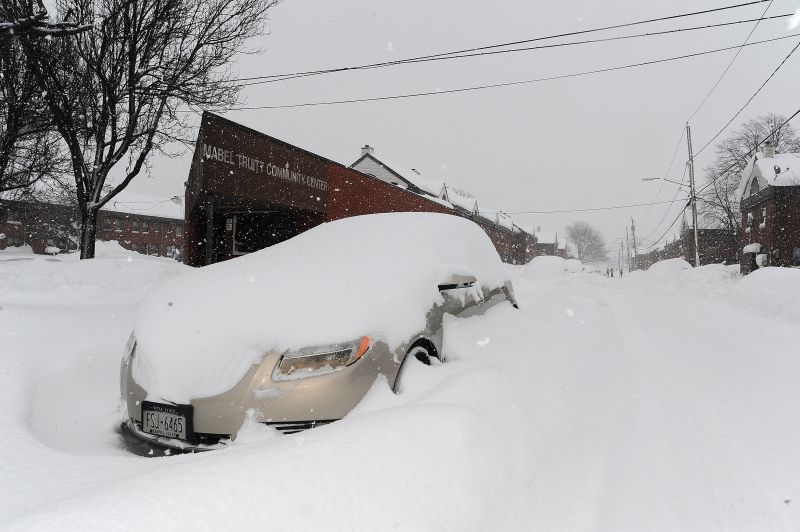
La Niña winters vary, but many exhibit similar temperature and precipitation patterns. The jet stream, a significant air current that influences storm paths, often moves northward during a La Niña winter, redirecting storm activity from the South to northern regions of the US.
The forecast suggests that the entire northern part of the US will likely experience wetter conditions than average, particularly in the Pacific Northwest, Midwest, and parts of the Northeast. This increased precipitation will be essential in addressing ongoing dryness and drought issues in the Midwest.
However, more rainfall does not automatically translate to increased snowfall. Adequate cold temperatures at both upper and surface levels are necessary for snow to accumulate.

If this year’s La Niña turns out to be relatively weak, the forecast may change. Nevertheless, the latest winter temperature predictions from the center are not favorable for snow enthusiasts in the Northeast.
The season is anticipated to be warmer than usual across much of the southern US and a large portion of the East. This could result in some winter storms in the eastern regions being more rainy than snowy. With the South expected to face drier and warmer conditions, drought issues may intensify throughout the season.
Temperatures may hover around normal in the Midwest, Plains, and Rockies, while cooler-than-average conditions are predicted for the Pacific Northwest and parts of the Dakotas. The combination of wetter and cooler-than-normal conditions could lead to increased snowfall in the Pacific Northwest, an area where a healthy snowpack is essential.
Typically, Northern California sees more precipitation during a La Niña winter, but this season’s forecast suggests conditions will be near normal. La Niña has historically influenced weather patterns in Southern California, which is expected to experience drier and warmer weather than average. It is vital for the region to receive substantial rainfall in the coming months to mitigate wildfire risks. Without sufficient precipitation, the threat of wildfires may persist throughout the season.